
Hixon topographic map
Interactive map
Click on the map to display elevation.
About this map
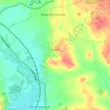
Name: Hixon topographic map, elevation, terrain.
Location: Hixon, Stafford, Staffordshire, England, United Kingdom (52.81648 -2.02718 52.83878 -1.95439)
Average elevation: 93 m
Minimum elevation: 71 m
Maximum elevation: 125 m