
Magboro topographic map
Interactive map
Click on the map to display elevation.
About this map
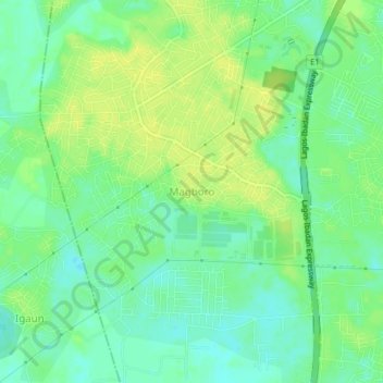
Name: Magboro topographic map, elevation, terrain.
Location: Magboro, Obafemi Owode, Ogun State, 121006, Nigeria (6.69484 3.38245 6.73484 3.42245)
Average elevation: 11 m
Minimum elevation: 1 m
Maximum elevation: 19 m
Other topographic maps
Click on a map to view its topography, its elevation and its terrain.
Ijemo
Nigeria > Ogun State > Obafemi Owode
Ijemo, Obafemi Owode, Ogun State, Nigeria
Average elevation: 116 m
Agbohun
Nigeria > Ogun State > Obafemi Owode
Agbohun, Obafemi Owode, Ogun State, Nigeria
Average elevation: 128 m