
Ijemo topographic map
Interactive map
Click on the map to display elevation.
About this map
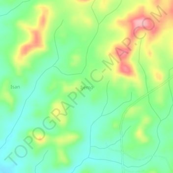
Name: Ijemo topographic map, elevation, terrain.
Location: Ijemo, Obafemi Owode, Ogun State, Nigeria (7.04667 3.54667 7.08667 3.58667)
Average elevation: 116 m
Minimum elevation: 66 m
Maximum elevation: 200 m
Other topographic maps
Click on a map to view its topography, its elevation and its terrain.