
Tasso topographic map
Interactive map
Click on the map to display elevation.
About this map
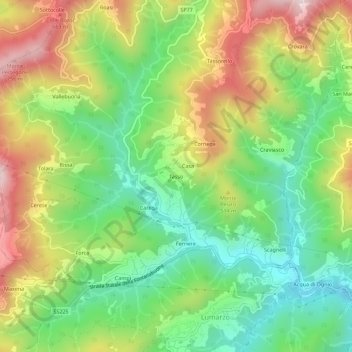
Name: Tasso topographic map, elevation, terrain.
Location: Tasso, Lumarzo, Genua, Ligurien, 16024, Italien (44.42970 9.11578 44.46970 9.15578)
Average elevation: 417 m
Minimum elevation: 173 m
Maximum elevation: 763 m