
Thank you for supporting this site ❤️
Make a donation
Make a donation
Gear up for your next adventure:
As an Amazon Associate, this site earns from qualifying purchases at no extra cost to you.
Nawagai topographic map
Click on the map to display elevation.
Thank you for supporting this site ❤️
Make a donation
Make a donation
Gear up for your next adventure:
As an Amazon Associate, this site earns from qualifying purchases at no extra cost to you.
About this map
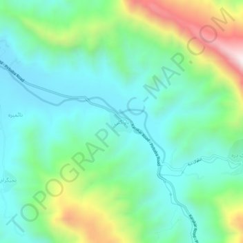
Name: Nawagai topographic map, elevation, terrain.
Location: Nawagai, Swat District, Khyber Pakhtunkhwa, Pakistan (34.63618 72.23646 34.67618 72.27646)
Average elevation: 1,058 m
Minimum elevation: 815 m
Maximum elevation: 1,702 m
Thank you for supporting this site ❤️
Make a donation
Make a donation
Gear up for your next adventure:
As an Amazon Associate, this site earns from qualifying purchases at no extra cost to you.