
Al Ahsa' topographic map
Interactive map
Click on the map to display elevation.
About this map
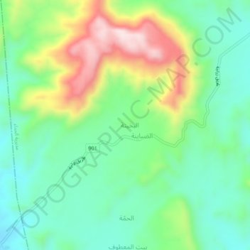
Name: Al Ahsa' topographic map, elevation, terrain.
Location: Al Ahsa', Al Hada, Gouvernorat de Dhamar, Yémen (14.83159 44.32957 14.87159 44.36957)
Average elevation: 2,481 m
Minimum elevation: 2,344 m
Maximum elevation: 2,744 m