
Mayavati topographic map
Interactive map
Click on the map to display elevation.
About this map
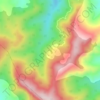
Name: Mayavati topographic map, elevation, terrain.
Location: Mayavati, Lohaghat, Champawat, Uttarakhand, India (29.36470 80.05150 29.38470 80.07150)
Average elevation: 1,875 m
Minimum elevation: 1,685 m
Maximum elevation: 2,059 m