
Guadalajara topographic map
Interactive map
Click on the map to display elevation.
About this map
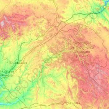
Name: Guadalajara topographic map, elevation, terrain.
Location: Guadalajara, Castile-La Mancha, Spain (40.15246 -3.54055 41.32763 -1.53564)
Average elevation: 1,037 m
Minimum elevation: 499 m
Maximum elevation: 2,194 m
Other topographic maps
Click on a map to view its topography, its elevation and its terrain.