
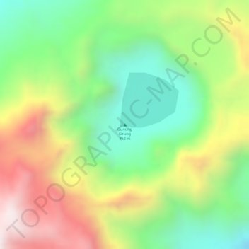
Mount Sirung topographic map
Interactive map
Click on the map to display elevation.
About this map
Name: Mount Sirung topographic map, elevation, terrain.
Location: Mount Sirung, Alor, East Nusa Tenggara, Indonesia (-8.49960 124.12793 -8.49950 124.12803)
Average elevation: 638 m
Minimum elevation: 328 m
Maximum elevation: 1,016 m