
Parit Panjang topographic map
Interactive map
Click on the map to display elevation.
About this map
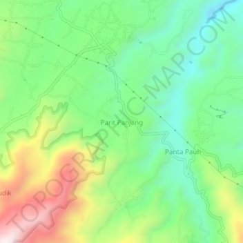
Name: Parit Panjang topographic map, elevation, terrain.
Location: Parit Panjang, Agam Regency, West Sumatra, Indonesia (-0.31307 100.26860 -0.27307 100.30860)
Average elevation: 1,066 m
Minimum elevation: 834 m
Maximum elevation: 1,474 m