
Javor topographic map
Interactive map
Click on the map to display elevation.
About this map
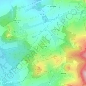
Name: Javor topographic map, elevation, terrain.
Location: Javor, okres Klatovy, Plzeň Region, Southwest, Czechia (49.31918 13.24017 49.33975 13.28642)
Average elevation: 491 m
Minimum elevation: 423 m
Maximum elevation: 659 m