
Pereiras-Gare topographic map
Interactive map
Click on the map to display elevation.
About this map
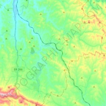
Name: Pereiras-Gare topographic map, elevation, terrain.
Location: Pereiras-Gare, Odemira, Beja, Portugal (37.37372 -8.48755 37.48004 -8.37375)
Average elevation: 167 m
Minimum elevation: 54 m
Maximum elevation: 438 m
Other topographic maps
Click on a map to view its topography, its elevation and its terrain.