
Campamento topographic map
Interactive map
Click on the map to display elevation.
Campamento
Campamento is located in a mountainous area with large areas of pine forests. Small farms cover the lower valleys in the area, predominantly growing beans and corn. The higher elevations support large coffee farms. Campamento is known for its large pine forests, which are harvested and processed in local lumber mills. Near the eastern edge of Campamento, along the Rio Guayape, is a large fish farm that raises Tilapias for export.
About this map
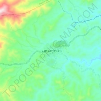
Name: Campamento topographic map, elevation, terrain.
Location: Campamento, Olancho, Honduras (14.51145 -86.70464 14.59145 -86.62464)
Average elevation: 759 m
Minimum elevation: 577 m
Maximum elevation: 1,317 m