
Koblacher Kanal topographic map
Interactive map
Click on the map to display elevation.
About this map
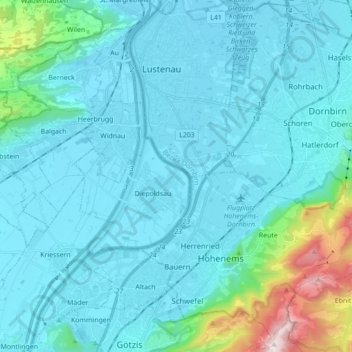
Name: Koblacher Kanal topographic map, elevation, terrain.
Average elevation: 539 m
Minimum elevation: 398 m
Maximum elevation: 1,631 m
Other topographic maps
Click on a map to view its topography, its elevation and its terrain.
Reute
Österreich > Vorarlberg > Hohenems
Reute, Hohenems, Bezirk Dornbirn, Vorarlberg, 6853, Österreich
Average elevation: 701 m