
England topographic map
Interactive map
Click on the map to display elevation.
About this map
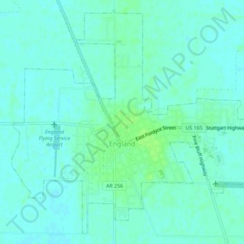
Name: England topographic map, elevation, terrain.
Location: England, Lonoke County, Arkansas, Estados Unidos de América (34.53213 -91.98708 34.56217 -91.94732)
Average elevation: 70 m
Minimum elevation: 66 m
Maximum elevation: 76 m