
Molagavalli topographic map
Interactive map
Click on the map to display elevation.
About this map
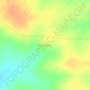
Name: Molagavalli topographic map, elevation, terrain.
Average elevation: 466 m
Minimum elevation: 445 m
Maximum elevation: 482 m
Other topographic maps
Click on a map to view its topography, its elevation and its terrain.
Kuruvalli
India > Andhra Pradesh > Alur
Kuruvalli, Alur, Kurnool District, Andhra Pradesh, 518395, India
Average elevation: 436 m