
Cig topographic map
Interactive map
Click on the map to display elevation.
About this map
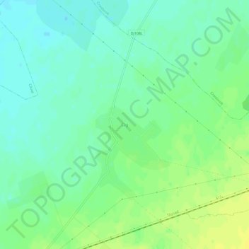
Name: Cig topographic map, elevation, terrain.
Location: Cig, Tășnad, Satu Mare, 445302, Roménia (47.50895 22.61723 47.54895 22.65723)
Average elevation: 133 m
Minimum elevation: 124 m
Maximum elevation: 143 m