
Mieders topographic map
Interactive map
Click on the map to display elevation.
About this map
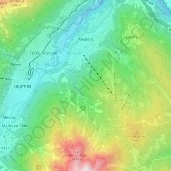
Name: Mieders topographic map, elevation, terrain.
Location: Mieders, Bezirk Innsbruck-Land, Tyrol, 6142, Austria (47.12394 11.36078 47.18253 11.42644)
Average elevation: 1,361 m
Minimum elevation: 796 m
Maximum elevation: 2,675 m
Other topographic maps
Click on a map to view its topography, its elevation and its terrain.
Elferspitze
Austria > Tyrol > Bezirk Innsbruck-Land > Neustift im Stubaital
Average elevation: 1,978 m
Hoher Burgstall
Austria > Tyrol > Bezirk Innsbruck-Land > Neustift im Stubaital
Average elevation: 2,142 m
Axamer Lizum
Austria > Tyrol > Bezirk Innsbruck-Land > Gemeinde Axams > Axamer Lizum
Average elevation: 1,858 m