
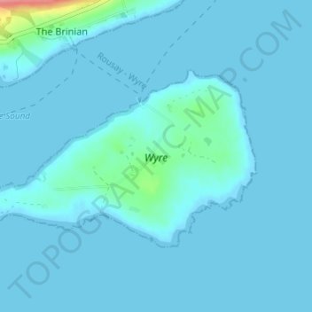
Wyre topographic map
Interactive map
Click on the map to display elevation.
About this map
Name: Wyre topographic map, elevation, terrain.
Average elevation: 5 m
Minimum elevation: -1 m
Maximum elevation: 80 m
Other topographic maps
Click on a map to view its topography, its elevation and its terrain.
Rousay
United Kingdom > Scotland > Orkney Islands > The Brinian
Rousay, The Brinian, Orkney Islands, Scotland, United Kingdom
Average elevation: 43 m