
Craigston Castle topographic map
Interactive map
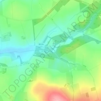
Click on the map to display elevation.
About this map
Name: Craigston Castle topographic map, elevation, terrain.
Average elevation: 108 m
Minimum elevation: 66 m
Maximum elevation: 185 m
Other topographic maps
Click on a map to view its topography, its elevation and its terrain.
Fintry
United Kingdom > Scotland > Fintry
Fintry, Aberdeenshire, Scotland, AB53 5PS, United Kingdom
Average elevation: 108 m