
Ayod topographic map
Interactive map
Click on the map to display elevation.
About this map
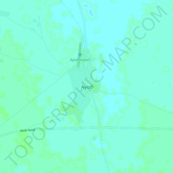
Name: Ayod topographic map, elevation, terrain.
Location: Ayod, Jonglei, South Sudan (8.08360 31.36980 8.16360 31.44980)
Average elevation: 402 m
Minimum elevation: 400 m
Maximum elevation: 405 m
Other topographic maps
Click on a map to view its topography, its elevation and its terrain.