
Lanreath topographic map
Interactive map
Click on the map to display elevation.
About this map
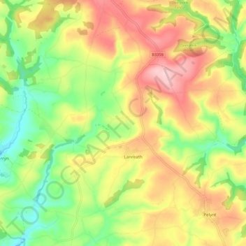
Name: Lanreath topographic map, elevation, terrain.
Location: Lanreath, Cornwall, England, United Kingdom (50.35884 -4.60159 50.42704 -4.51330)
Average elevation: 101 m
Minimum elevation: 2 m
Maximum elevation: 211 m