
Jaljala topographic map
Interactive map
Click on the map to display elevation.
About this map
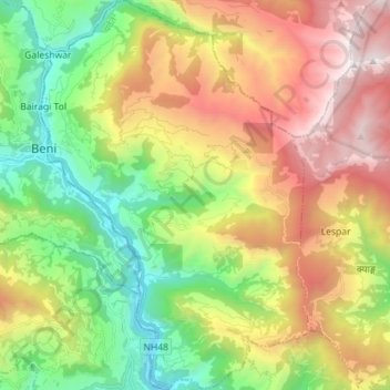
Name: Jaljala topographic map, elevation, terrain.
Location: Jaljala, Parbat, Gandaki Pradesh, Nepal (28.26725 83.56532 28.39185 83.66284)
Average elevation: 1,816 m
Minimum elevation: 748 m
Maximum elevation: 3,301 m
Other topographic maps
Click on a map to view its topography, its elevation and its terrain.