
Jakobshavn Glacier topographic map
Interactive map
Click on the map to display elevation.
About this map
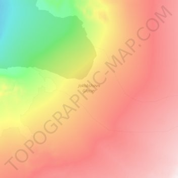
Name: Jakobshavn Glacier topographic map, elevation, terrain.
Location: Jakobshavn Glacier, Avannaata, Greenland (69.08239 -49.68028 69.15532 -49.25474)
Average elevation: 452 m
Minimum elevation: 87 m
Maximum elevation: 769 m
Other topographic maps
Click on a map to view its topography, its elevation and its terrain.