
Kunitachi topographic map
Interactive map
Click on the map to display elevation.
About this map
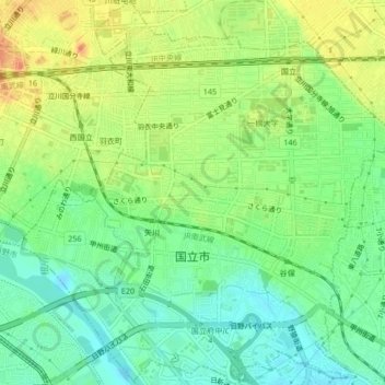
Name: Kunitachi topographic map, elevation, terrain.
Location: Kunitachi, Tokyo, Japan (35.67064 139.41757 35.70442 139.45961)
Average elevation: 75 m
Minimum elevation: 54 m
Maximum elevation: 102 m