
Balıkhisar topographic map
Interactive map
Click on the map to display elevation.
About this map
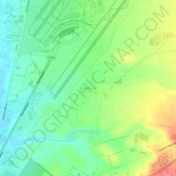
Name: Balıkhisar topographic map, elevation, terrain.
Location: Balıkhisar, Akyurt, Ankara, Central Anatolia Region, Turkey (40.08247 32.97944 40.12247 33.01944)
Average elevation: 955 m
Minimum elevation: 927 m
Maximum elevation: 1,002 m