
Haima topographic map
Interactive map
Click on the map to display elevation.
About this map
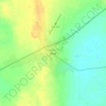
Name: Haima topographic map, elevation, terrain.
Location: Haima, Al Wusta Governorate, Oman (19.91469 56.24126 19.99469 56.32126)
Average elevation: 131 m
Minimum elevation: 119 m
Maximum elevation: 145 m
Other topographic maps
Click on a map to view its topography, its elevation and its terrain.