
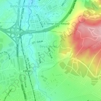
Beyazevler Mahallesi topographic map
Interactive map
Click on the map to display elevation.
About this map
Name: Beyazevler Mahallesi topographic map, elevation, terrain.
Location: Beyazevler Mahallesi, Gaziemir, Izmir, Aegean Region, Turkey (38.33458 27.13242 38.34827 27.16454)
Average elevation: 138 m
Minimum elevation: 74 m
Maximum elevation: 253 m