
Tärnaby topographic map
Interactive map
Click on the map to display elevation.
About this map
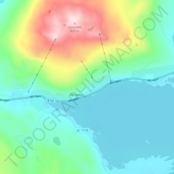
Name: Tärnaby topographic map, elevation, terrain.
Location: Tärnaby, Storumans kommun, Västerbotten County, 920 64, Sweden (65.69318 15.26274 65.73318 15.30274)
Average elevation: 538 m
Minimum elevation: 433 m
Maximum elevation: 826 m
Other topographic maps
Click on a map to view its topography, its elevation and its terrain.