
Hoover topographic map
Interactive map
Click on the map to display elevation.
About this map
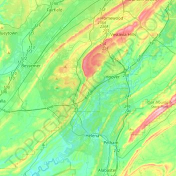
Name: Hoover topographic map, elevation, terrain.
Location: Hoover, Jefferson County, Alabama, United States (33.26729 -86.92616 33.46873 -86.60885)
Average elevation: 183 m
Minimum elevation: 106 m
Maximum elevation: 382 m
Other topographic maps
Click on a map to view its topography, its elevation and its terrain.
Crestline Heights
United States > Alabama > Jefferson County > Mountain Brook
Average elevation: 241 m