
Avalon topographic map
Interactive map
Click on the map to display elevation.
About this map
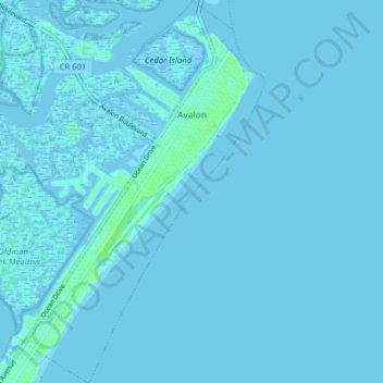
Name: Avalon topographic map, elevation, terrain.
Location: Avalon, Cape May County, New Jersey, 08202, United States (39.05831 -74.76723 39.11942 -74.70278)
Average elevation: 1 m
Minimum elevation: -4 m
Maximum elevation: 9 m
Other topographic maps
Click on a map to view its topography, its elevation and its terrain.