
Nanto topographic map
Interactive map
Click on the map to display elevation.
About this map
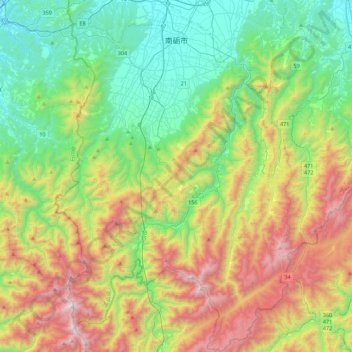
Name: Nanto topographic map, elevation, terrain.
Location: Nanto, Toyama Prefecture, Japan (36.27437 136.76835 36.62801 137.06430)
Average elevation: 622 m
Minimum elevation: 6 m
Maximum elevation: 1,807 m