
Porter topographic map
Interactive map
Click on the map to display elevation.
About this map
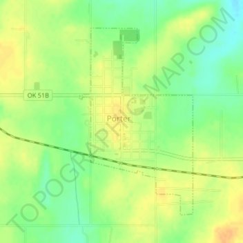
Name: Porter topographic map, elevation, terrain.
Location: Porter, Wagoner County, Oklahoma, 74454, United States (35.85765 -95.52828 35.87844 -95.51274)
Average elevation: 190 m
Minimum elevation: 172 m
Maximum elevation: 205 m
Other topographic maps
Click on a map to view its topography, its elevation and its terrain.
Coweta
United States > Oklahoma > Wagoner County
Coweta, Wagoner County, Oklahoma, United States
Average elevation: 195 m