
Kota topographic map
Interactive map
Click on the map to display elevation.
About this map
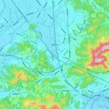
Name: Kota topographic map, elevation, terrain.
Location: Kota, Nukata County, Aichi Prefecture, Japan (34.81496 137.10102 34.90972 137.21214)
Average elevation: 76 m
Minimum elevation: -2 m
Maximum elevation: 429 m