
Osaka topographic map
Interactive map
Click on the map to display elevation.
About this map
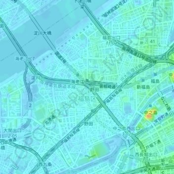
Name: Osaka topographic map, elevation, terrain.
Location: Fukushima, Osaka, Osaka Prefecture, Kinki Region, Japan (34.68061 135.46188 34.70697 135.49109)
Average elevation: 4 m
Minimum elevation: -3 m
Maximum elevation: 33 m