
Derwent Valley topographic map
Interactive map
Click on the map to display elevation.
About this map
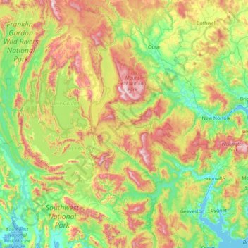
Name: Derwent Valley topographic map, elevation, terrain.
Location: Derwent Valley, Tasmania, Australia (-43.11850 145.83287 -42.48872 147.22926)
Average elevation: 405 m
Minimum elevation: -2 m
Maximum elevation: 1,404 m
Other topographic maps
Click on a map to view its topography, its elevation and its terrain.