
Gelli topographic map
Interactive map
Click on the map to display elevation.
About this map
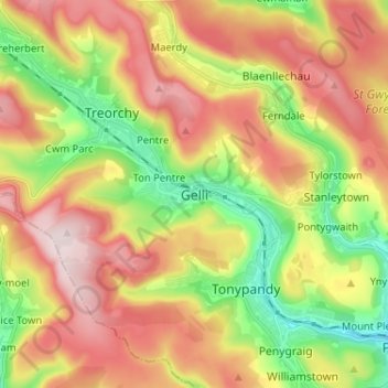
Name: Gelli topographic map, elevation, terrain.
Location: Gelli, Rhondda Cynon Taf, Wales, CF41 7UN, United Kingdom (51.60409 -3.51664 51.68409 -3.43664)
Average elevation: 311 m
Minimum elevation: 100 m
Maximum elevation: 532 m
Rhondda Cynon Taf trails, hiking, mountain biking, running and outdoor activities
Other topographic maps
Click on a map to view its topography, its elevation and its terrain.