
Endla küla topographic map
Interactive map
Click on the map to display elevation.
About this map
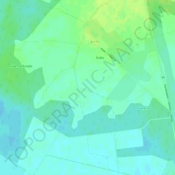
Name: Endla küla topographic map, elevation, terrain.
Location: Endla küla, Saaremaa vald, Saare maakond, 93712, Estonia (58.34836 22.41329 58.37451 22.42990)
Average elevation: 22 m
Minimum elevation: 17 m
Maximum elevation: 30 m
Other topographic maps
Click on a map to view its topography, its elevation and its terrain.