
Kunohe topographic map
Interactive map
Click on the map to display elevation.
About this map
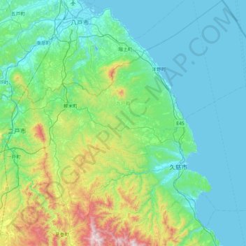
Name: Kunohe topographic map, elevation, terrain.
Location: Kunohe, Iwate Prefecture, Tohoku, Japan (40.01275 141.35010 40.56034 142.03118)
Average elevation: 209 m
Minimum elevation: 0 m
Maximum elevation: 1,227 m