
Karbi Anglong topographic map
Interactive map
Click on the map to display elevation.
About this map
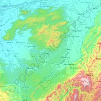
Name: Karbi Anglong topographic map, elevation, terrain.
Location: Karbi Anglong, East Karbi Anglong, Assam, India (25.30000 92.80000 26.70000 94.20000)
Average elevation: 437 m
Minimum elevation: 55 m
Maximum elevation: 2,967 m
Other topographic maps
Click on a map to view its topography, its elevation and its terrain.