
Hapsu küla topographic map
Interactive map
Click on the map to display elevation.
About this map
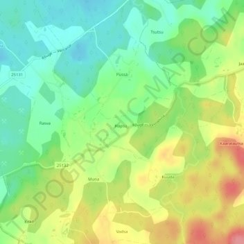
Name: Hapsu küla topographic map, elevation, terrain.
Location: Hapsu küla, Rõuge vald, Võru maakond, 66214, Estonia (57.74494 26.99362 57.75117 27.01180)
Average elevation: 187 m
Minimum elevation: 151 m
Maximum elevation: 239 m
Other topographic maps
Click on a map to view its topography, its elevation and its terrain.