
Fukushima topographic map
Interactive map
Click on the map to display elevation.
About this map
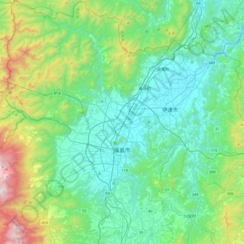
Name: Fukushima topographic map, elevation, terrain.
Location: Fukushima, Fukushima Prefecture, Tohoku, Japan (37.62421 140.22926 37.97665 140.56998)
Average elevation: 398 m
Minimum elevation: 22 m
Maximum elevation: 1,781 m