
Foristell topographic map
Interactive map
Click on the map to display elevation.
About this map
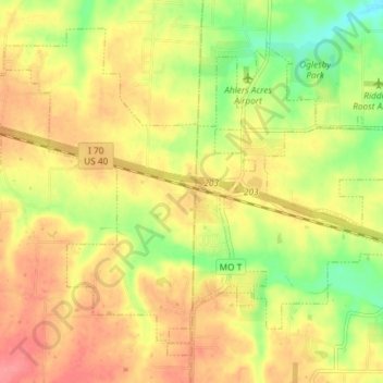
Name: Foristell topographic map, elevation, terrain.
Location: Foristell, Warren County, Missouri, United States (38.79140 -90.99778 38.84028 -90.92443)
Average elevation: 208 m
Minimum elevation: 165 m
Maximum elevation: 241 m
Other topographic maps
Click on a map to view its topography, its elevation and its terrain.
Innsbrook
United States > Missouri > Warren County
Innsbrook, Warren County, Missouri, United States
Average elevation: 232 m