
Dirty Devil River topographic map
Interactive map
Click on the map to display elevation.
About this map
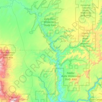
Name: Dirty Devil River topographic map, elevation, terrain.
Location: Dirty Devil River, Wayne County, Utah, United States (37.88777 -110.69235 38.40563 -110.37148)
Average elevation: 1,635 m
Minimum elevation: 1,107 m
Maximum elevation: 3,203 m
Other topographic maps
Click on a map to view its topography, its elevation and its terrain.