
Nedsaja küla topographic map
Interactive map
Click on the map to display elevation.
About this map
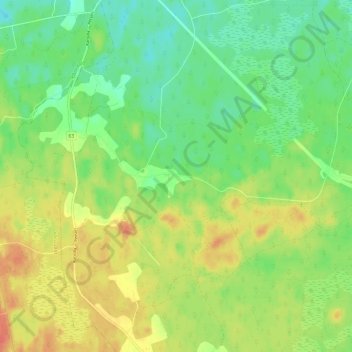
Name: Nedsaja küla topographic map, elevation, terrain.
Location: Nedsaja küla, Setomaa vald, Võru maakond, 64015, Estonia (57.87266 27.53741 57.91405 27.65504)
Average elevation: 63 m
Minimum elevation: 41 m
Maximum elevation: 90 m
Other topographic maps
Click on a map to view its topography, its elevation and its terrain.