
Võhma linn topographic map
Interactive map
Click on the map to display elevation.
About this map
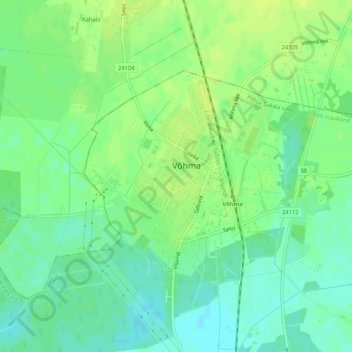
Name: Võhma linn topographic map, elevation, terrain.
Location: Võhma linn, Põhja-Sakala vald, Viljandi maakond, Estonia (58.62290 25.53980 58.63913 25.56982)
Average elevation: 54 m
Minimum elevation: 45 m
Maximum elevation: 61 m
Other topographic maps
Click on a map to view its topography, its elevation and its terrain.