
Tybee Island topographic map
Interactive map
Click on the map to display elevation.
About this map
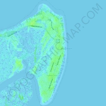
Name: Tybee Island topographic map, elevation, terrain.
Location: Tybee Island, Chatham County, Georgia, 31328, United States (31.98563 -80.88359 32.03082 -80.83946)
Average elevation: 1 m
Minimum elevation: -4 m
Maximum elevation: 9 m
Other topographic maps
Click on a map to view its topography, its elevation and its terrain.