
Imizu topographic map
Interactive map
Click on the map to display elevation.
About this map
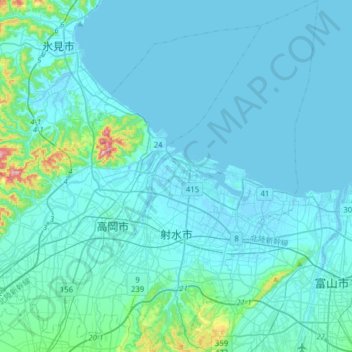
Name: Imizu topographic map, elevation, terrain.
Location: Imizu, Toyama Prefecture, Japan (36.64605 137.01103 36.89658 137.20134)
Average elevation: 19 m
Minimum elevation: -5 m
Maximum elevation: 245 m
Other topographic maps
Click on a map to view its topography, its elevation and its terrain.