
Etah topographic map
Interactive map
Click on the map to display elevation.
About this map
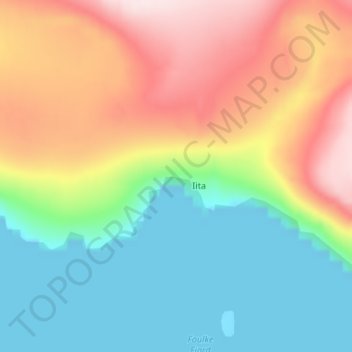
Name: Etah topographic map, elevation, terrain.
Location: Etah, Avannaata, Greenland (78.30389 -72.61972 78.32389 -72.59972)
Average elevation: 126 m
Minimum elevation: 0 m
Maximum elevation: 329 m
Other topographic maps
Click on a map to view its topography, its elevation and its terrain.