
Mit Ghamr topographic map
Interactive map
Click on the map to display elevation.
About this map
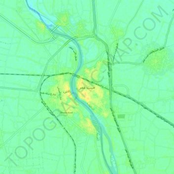
Name: Mit Ghamr topographic map, elevation, terrain.
Location: Mit Ghamr, Ad Dakahliya, 35611, Egypt (30.67690 31.21776 30.75690 31.29776)
Average elevation: 10 m
Minimum elevation: 3 m
Maximum elevation: 23 m
Other topographic maps
Click on a map to view its topography, its elevation and its terrain.